 |
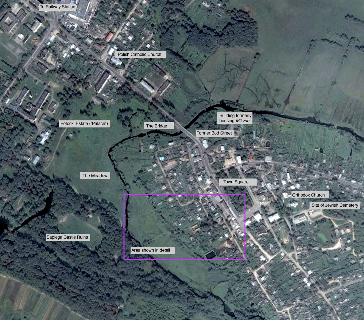
| Vysokoye today, with the walking path indicated. The Jewish community was south and east of the Pulva River Aerial Photo: Courtesy of Google |
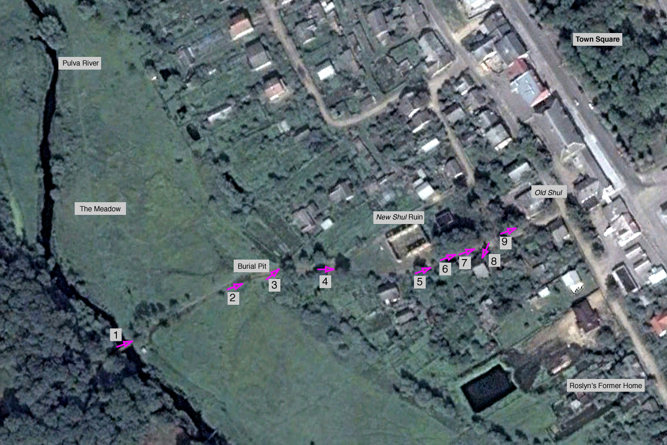 |
| The walking path, detail Aerial Photo: Courtesy of Google |
|
1. On the Pulva River Bridge, looking generally north. Photo: courtesy of Kanstancin Šastoŭski, radzima.org |
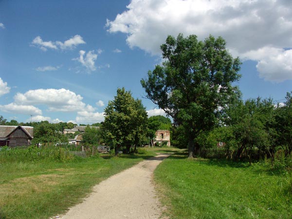
2. In the meadow, with the New Shul ruins visible in the distance. Photo: courtesy of Kanstancin Šastoŭski, radzima.org |
3. In the meadow, near the site of the 1942 burial pit. Photo: courtesy of Kanstancin Šastoŭski, radzima.org |
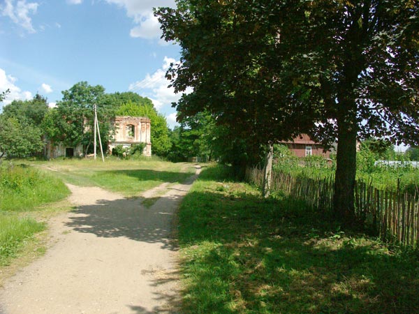
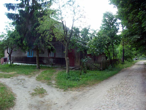
4. The road forks as it reaches the New Shul site. Photo: courtesy of Kanstancin Šastoŭski, radzima.org |
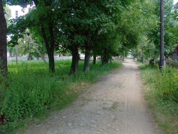
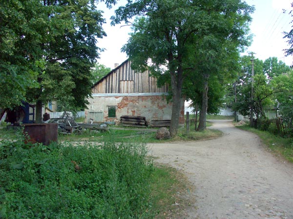
5. Further up the right fork of the road, opposite the New Shul. Notice the cobblestones in what first appears to be a dirt road. Photo: courtesy of Kanstancin Šastoŭski, radzima.org |
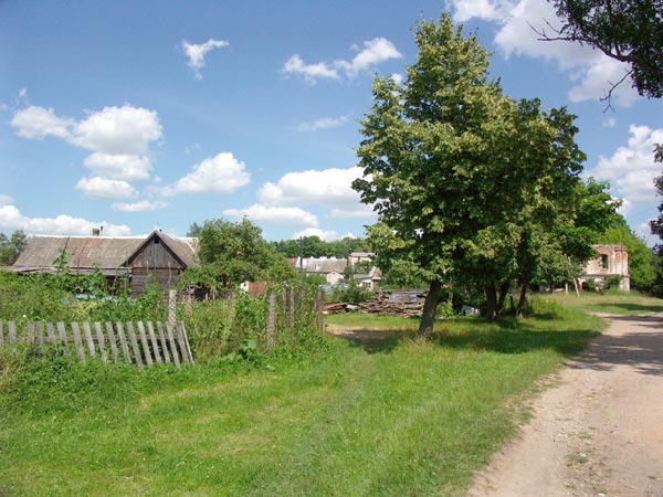
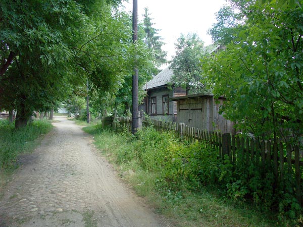
6. To the right: undoubtedly a former Jewish home Photo: courtesy of Kanstancin Šastoŭski, radzima.org |
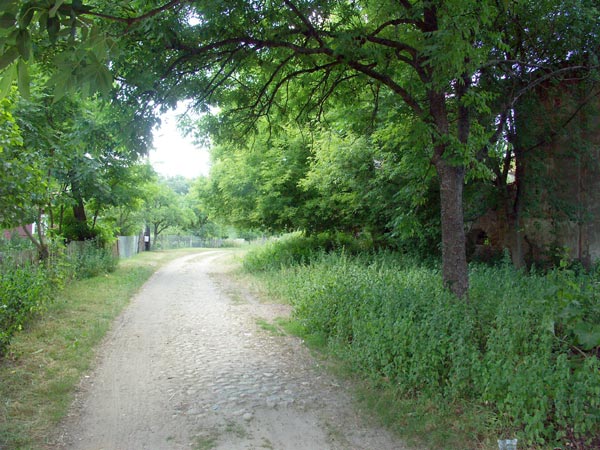
7. A bit further along. Photo: courtesy of Kanstancin Šastoŭski, radzima.org |
8. Another view of what was undoubtedly a former Jewish home. Photo: courtesy of Kanstancin Šastoŭski, radzima.org |
9. The Old Shul. Photo: courtesy of Kanstancin Šastoŭski, radzima.org |